Below are some quick tips on how to navigate this website:
Click on Scott Hampton Photography (upper left) to get back to the Home
Page.
While on the Home Page you can cycle throught the thunbnails and select
the collection you want to view. You must then click/tab on the larger image above to
enter that particular collection.
Slideshow automatically rotates image approximately every five seconds. Alternatively, you can swipe, drag (mouse), and even use the arrows on your keyboard to cycle through the photographs and/or thumbnails.
You can click/tap on the photo to get a description.
Index
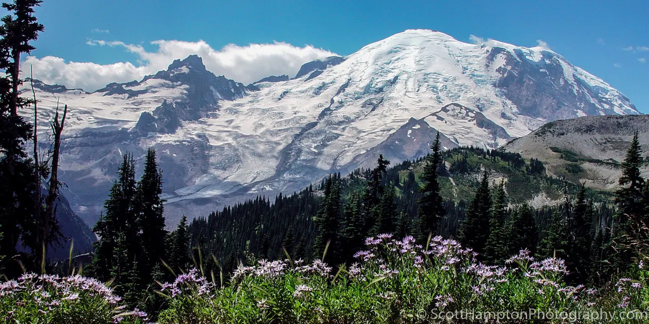
Mount Baker with Purple Wildflowers
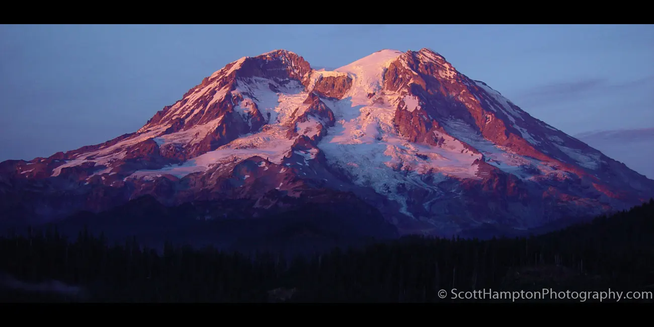
Mount Rainer
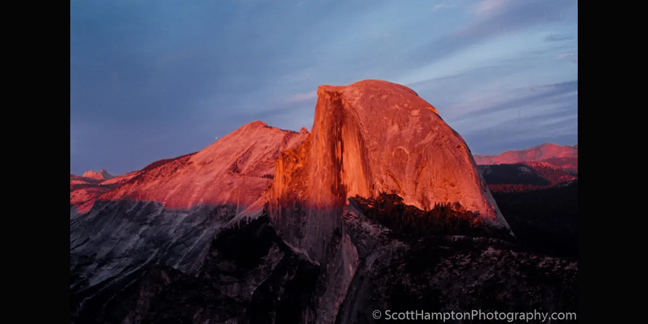
Half Dome at Sunset
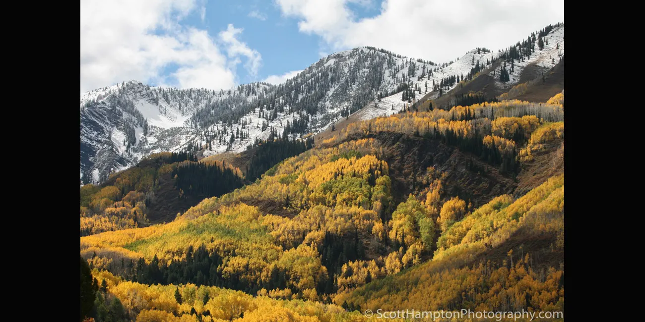
Marble Mountain, Colorado
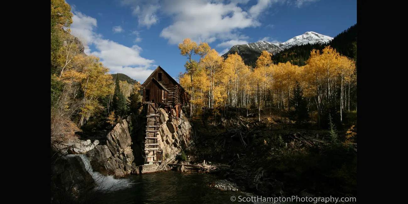
Crystal Mill, Colorado
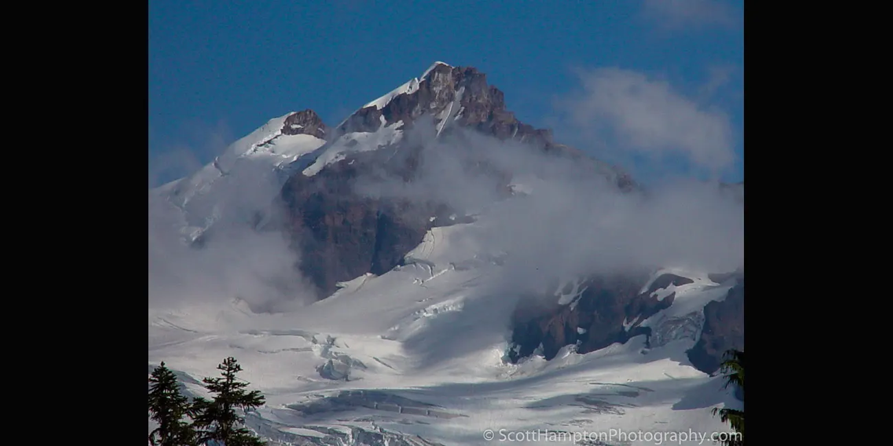
Rainer Peak
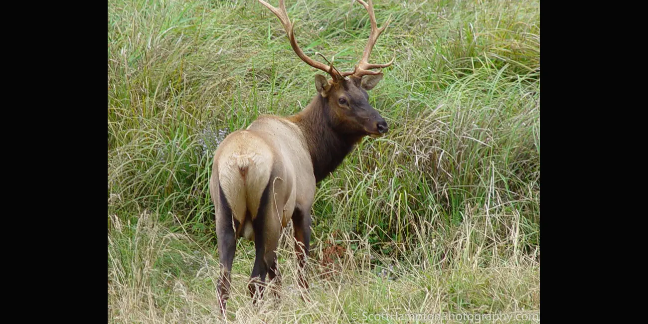
Elk, Redwoods NP
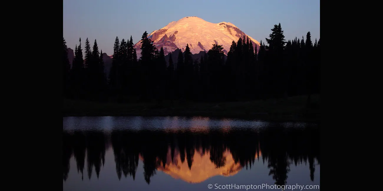
Sunrise on Mt. Rainer
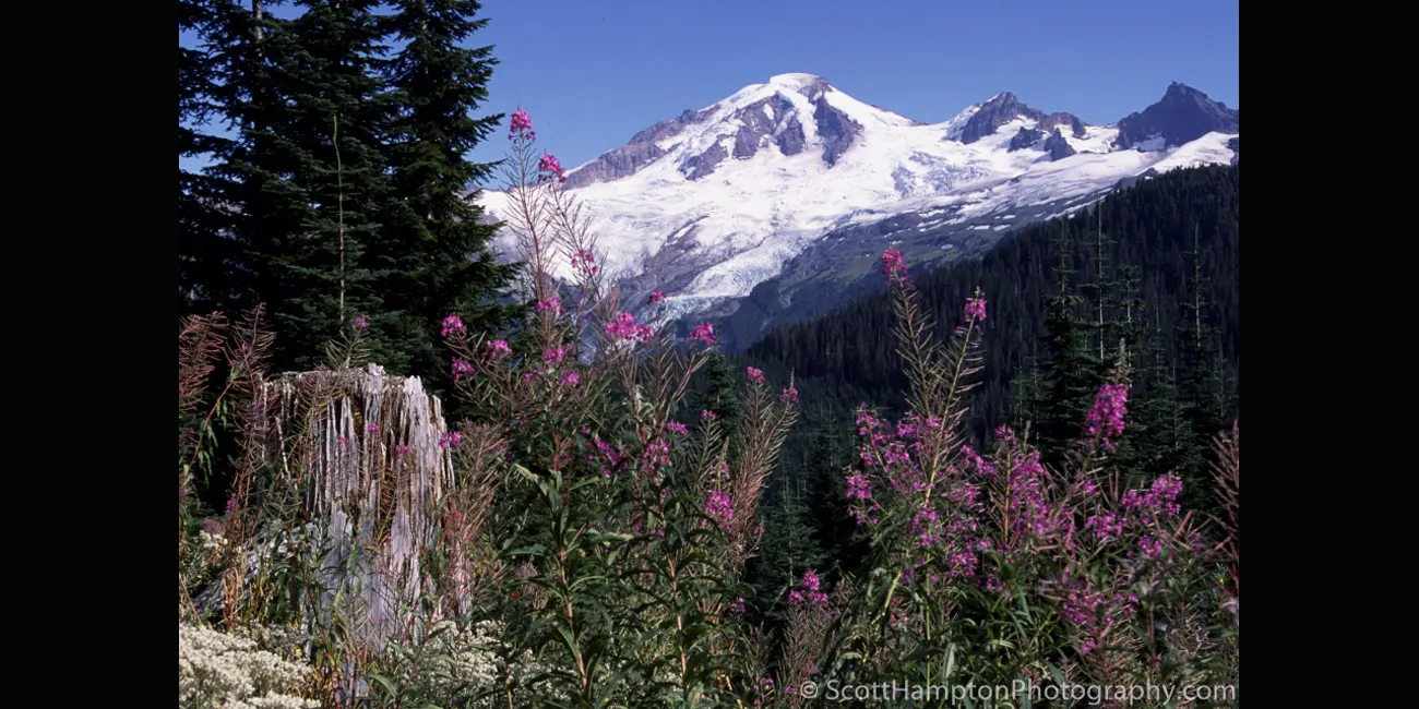
Purple Wildflowers with
Mt. Baker in the Background
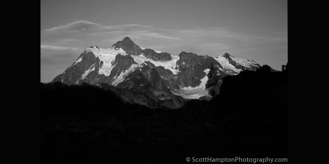
Mt. Shuksan
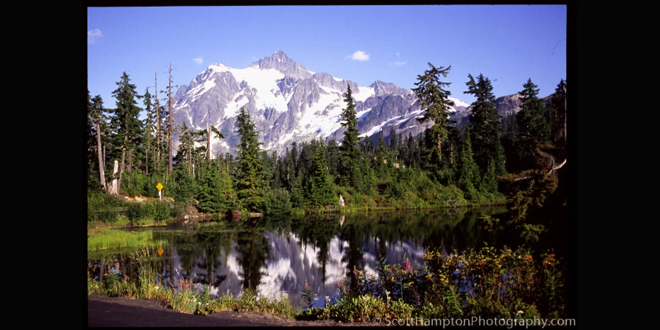
Mt. Shuksan II
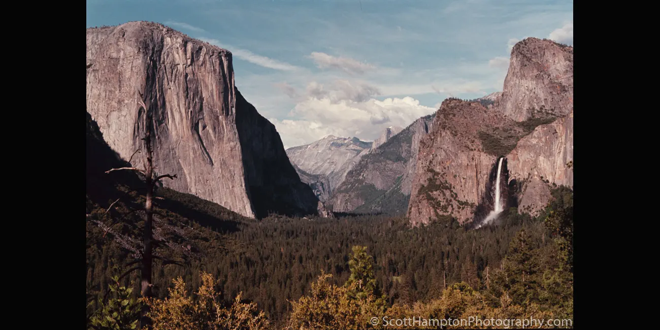
Yosemite Valley
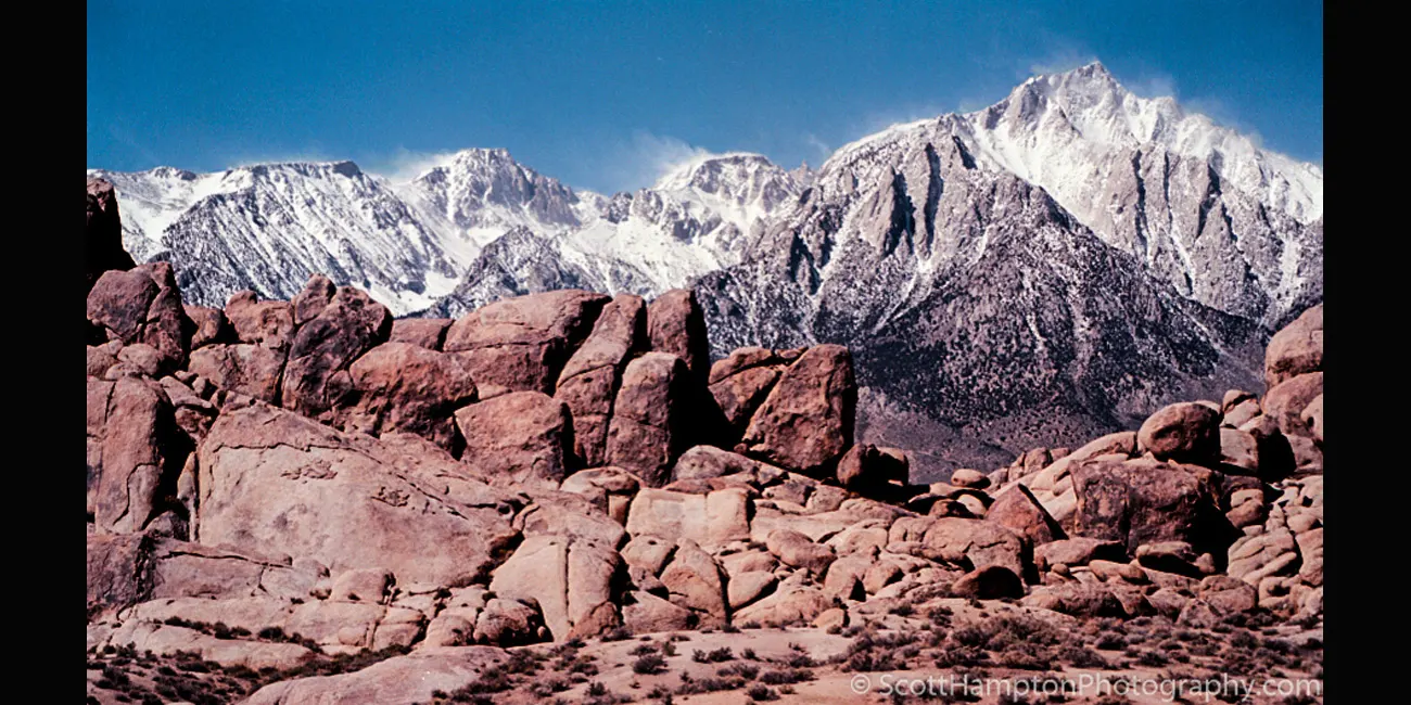
Mount Whitney Breeze
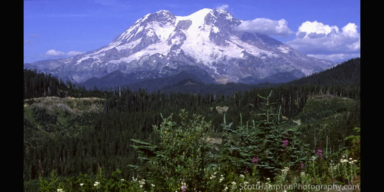
Mount Rainer II
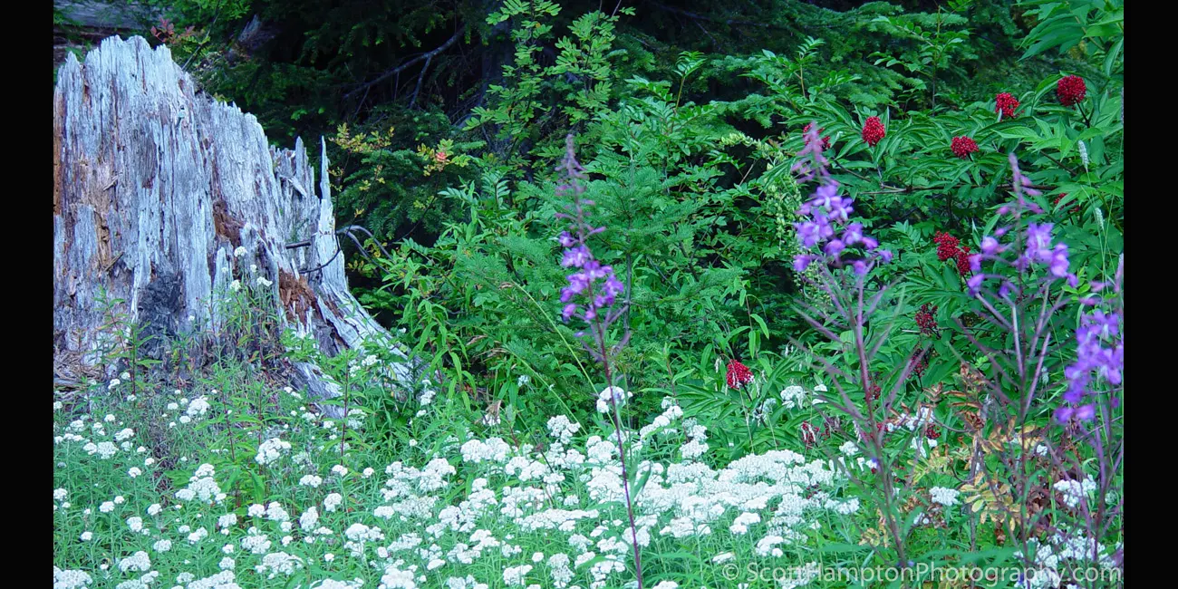
Mount Baker Flowers
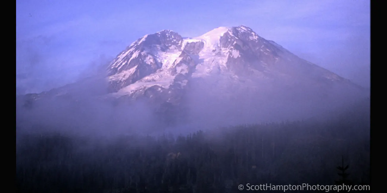
Mount Rainer Fog
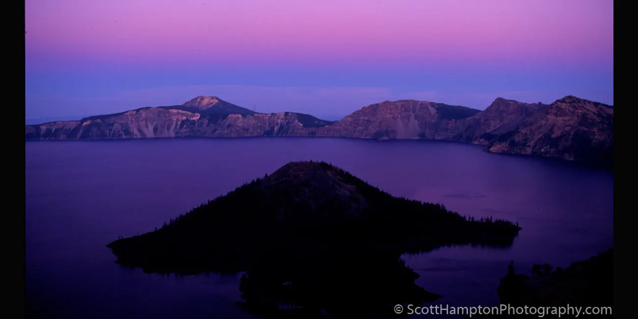
Creator Lake
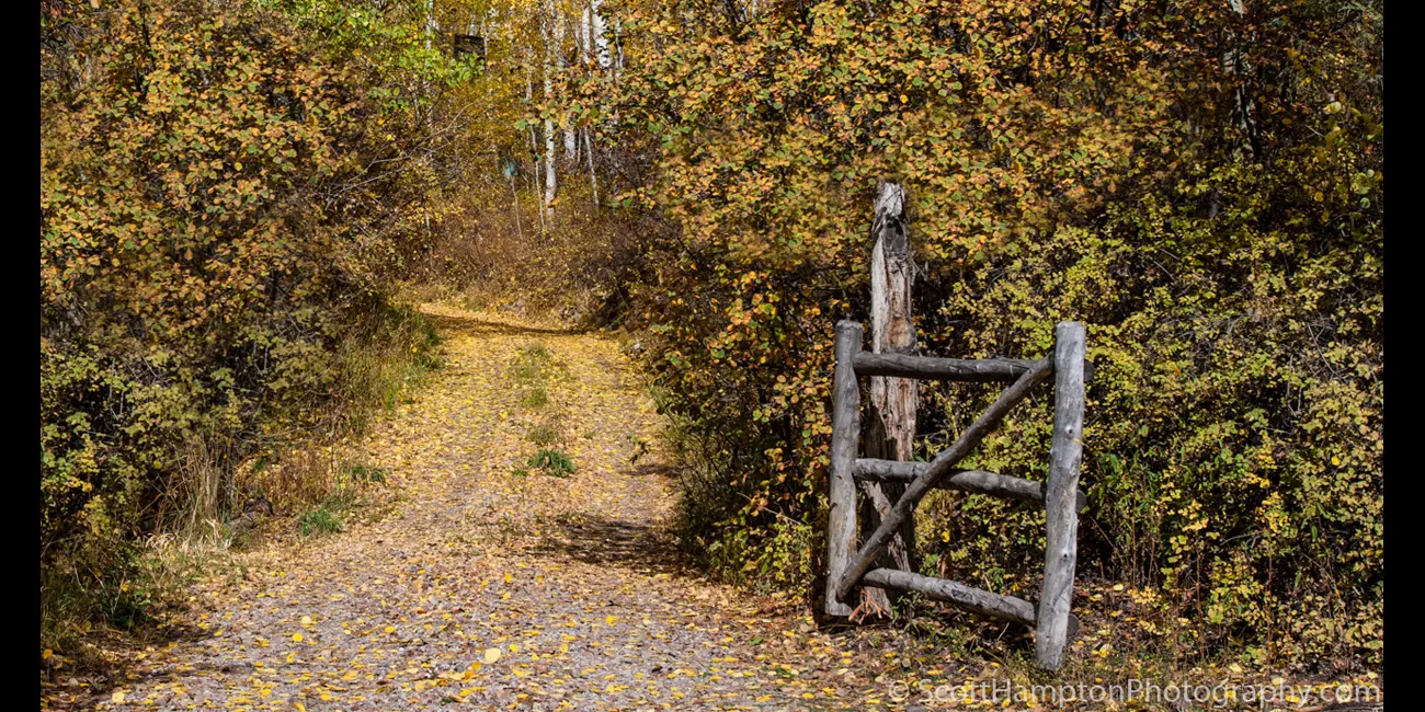
Fall n’ Gate
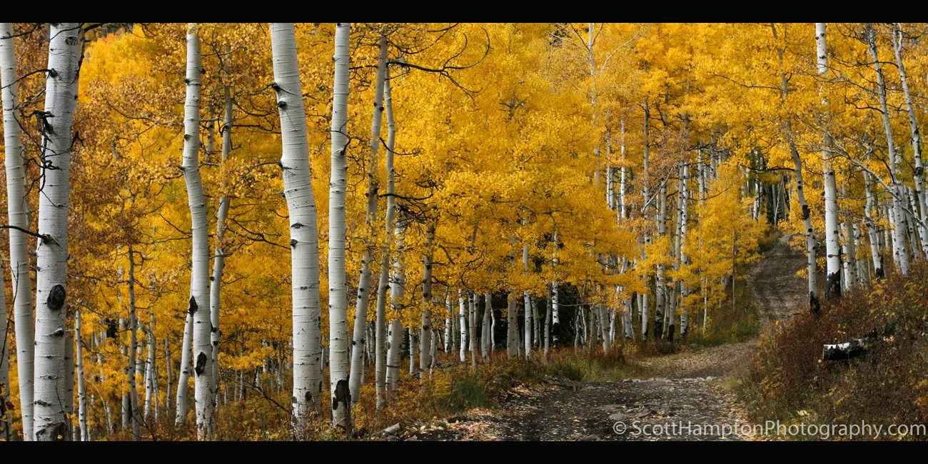
Alpine Road
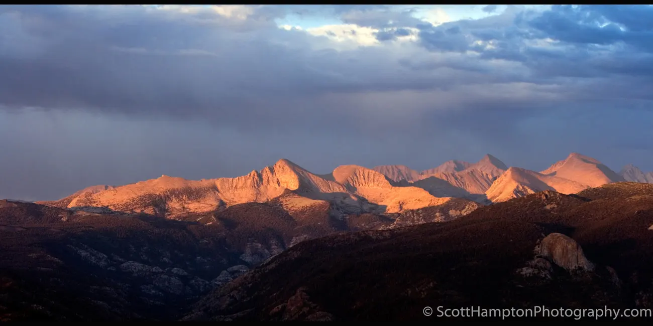
Devil's Bathtub
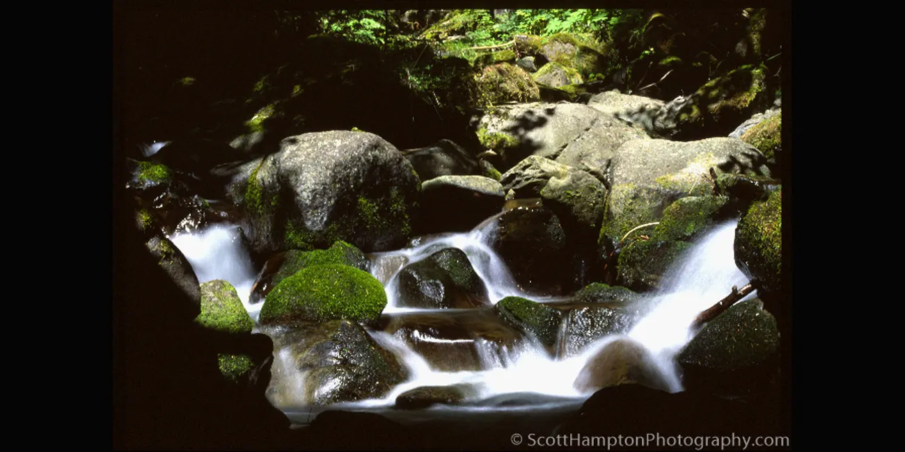
Babbling Brook
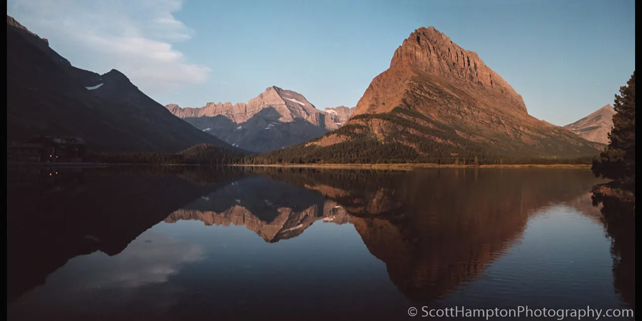
Glasier NP, 1994
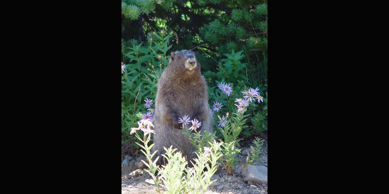
Marmot, Mt. Rainer
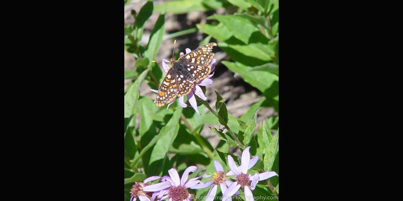
Mt. Rainer, Butterfly
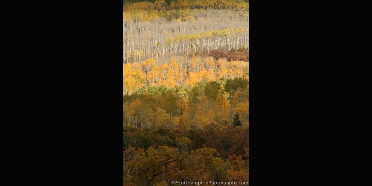
Aspen Stripes
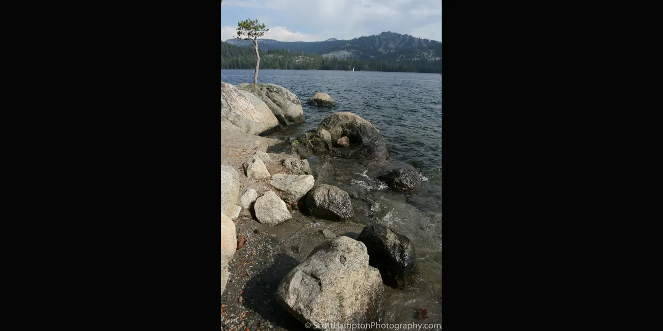
Lone Pine, Hunnington Lake
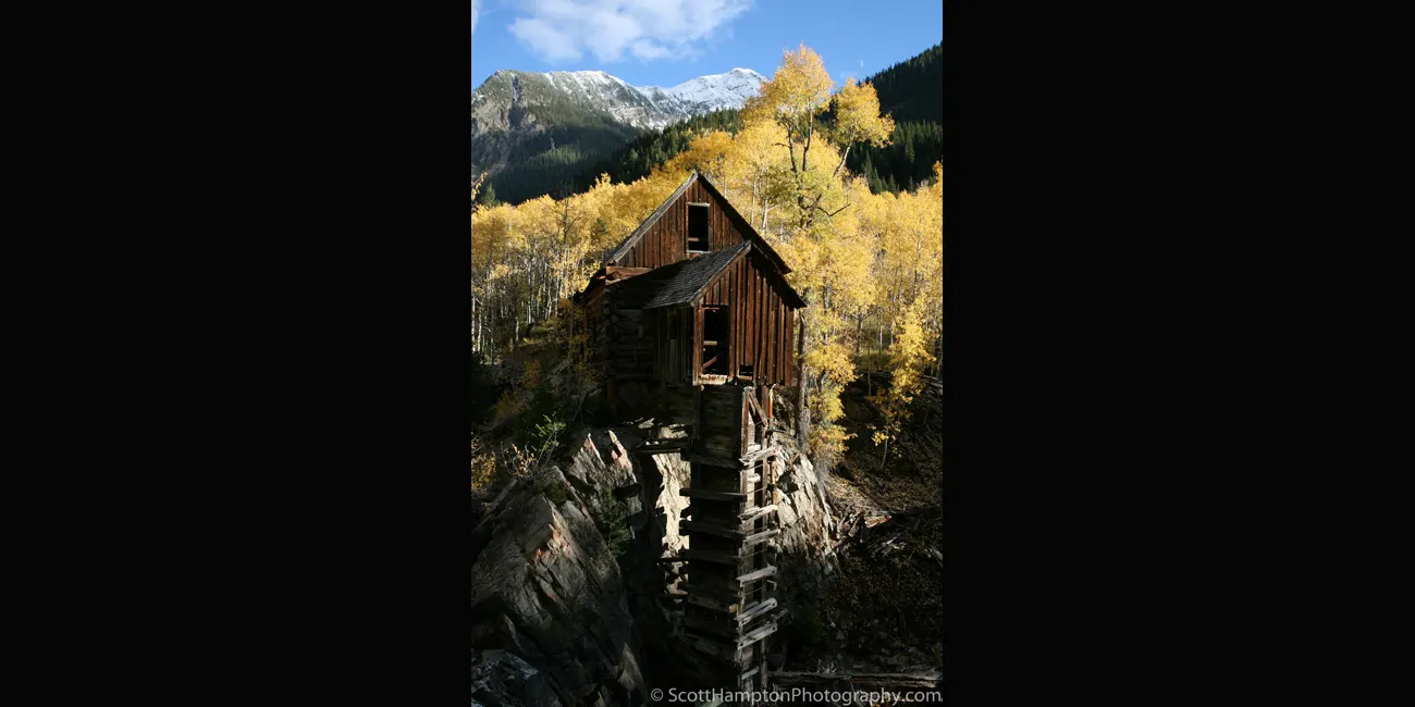
Crystal Mill II
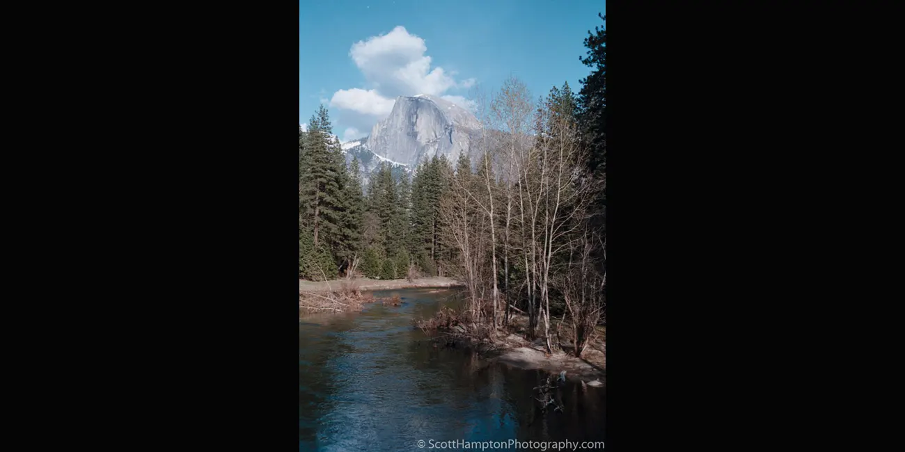
Yosemite, Half Dome,
April 1997
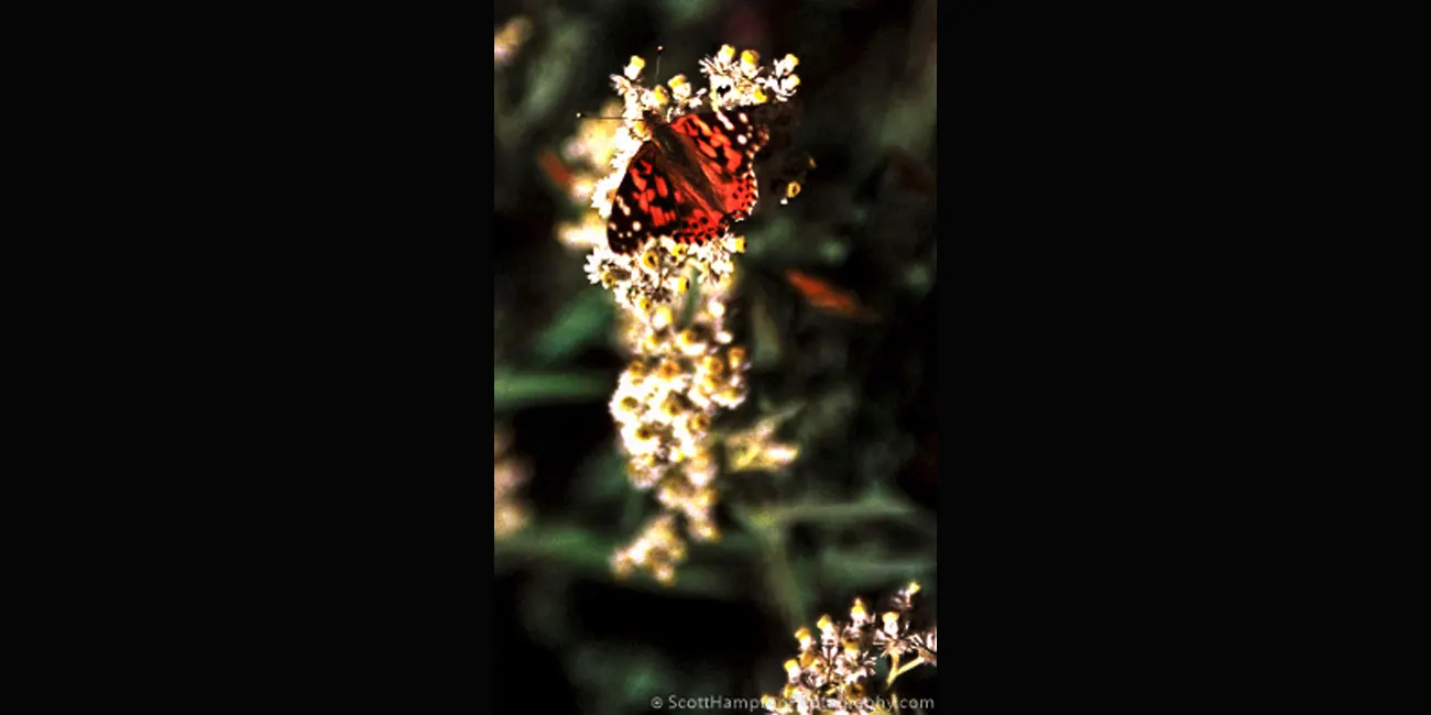
Mt. Rainer NP, Another Butterfly, 2005
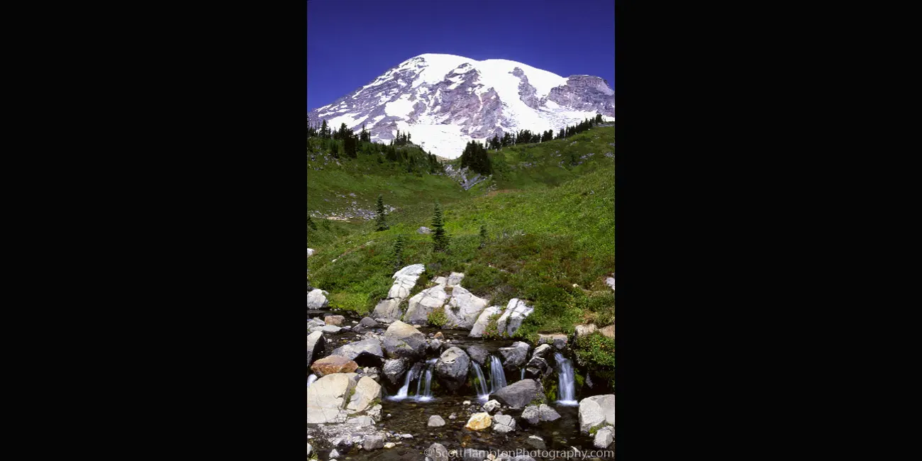
Mt. Rainer NP, 2005
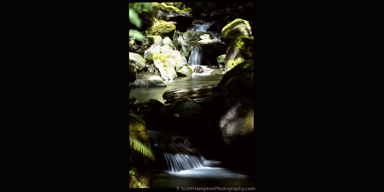
Babbling Brook,
Mt. Rainer
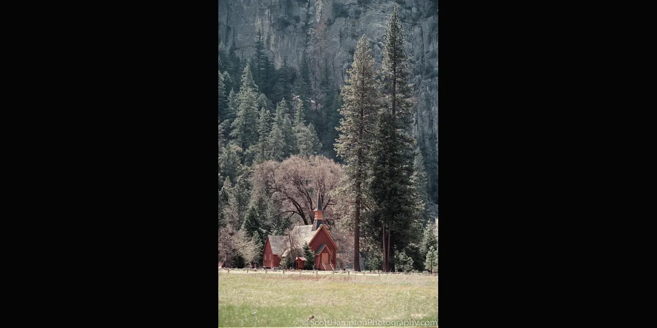
Yosemite Valley Chapel
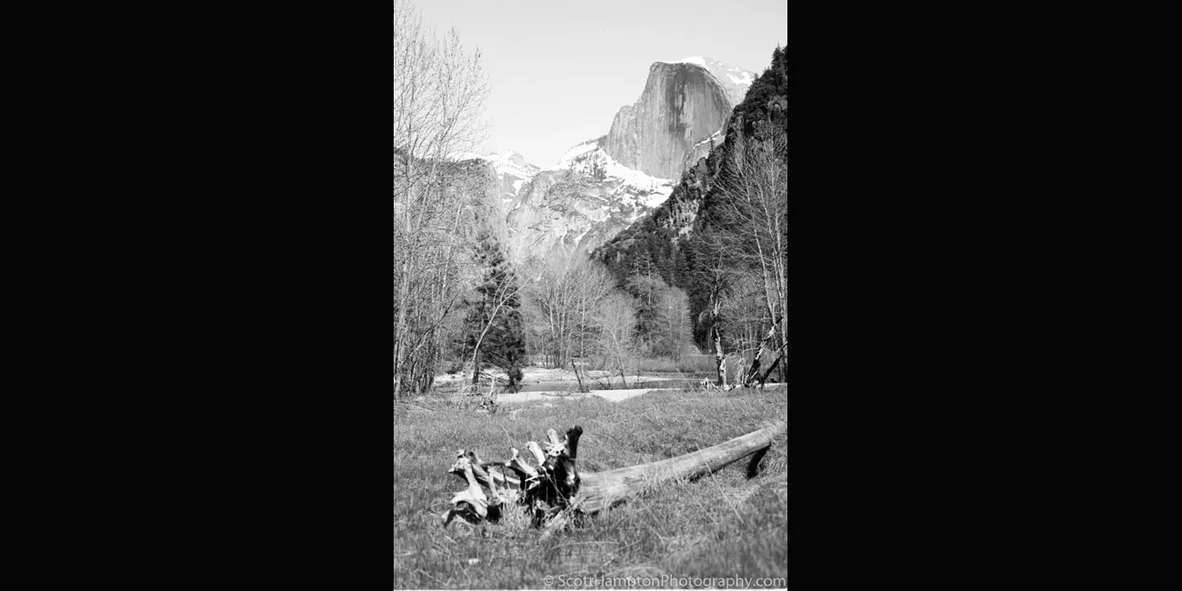
Yosemite, Half Dome, Uprooted Tree After the Flood of 1997
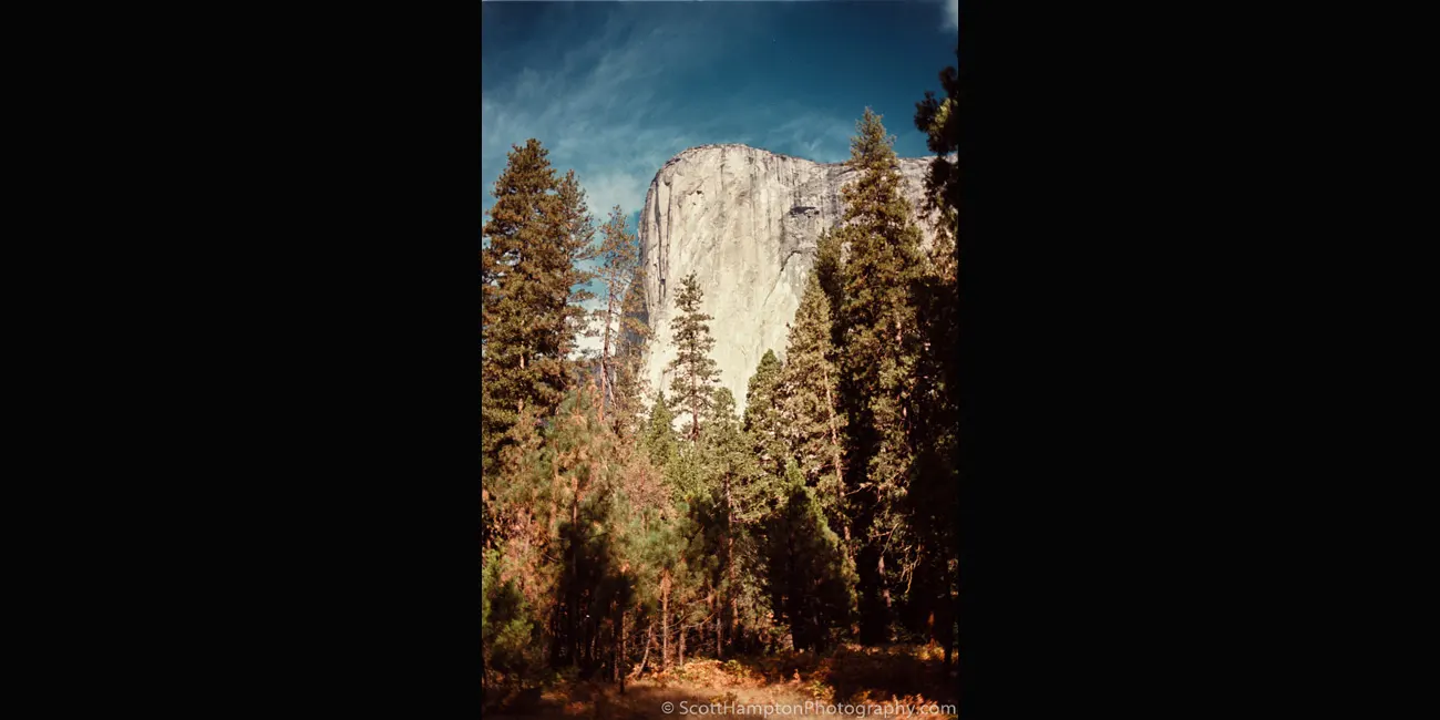
El Capitán

Thank you!

Mount Baker with Purple Wildflowers
Mount Baker, also known as Koma Kulshan, is a 10,781 ft active glacier-covered andesitic stratovolcano in the Cascade Volcanic Arc and the North Cascades of Washington. Mount Baker has the second-most thermally active crater in the Cascade Range after Mount St. Helens. Mount Baker is about 15 miles south of the Canadian Border and about 30 miles east of Bellingham, Washington.
Mount Rainer
Got lucky here. The spot I am shooting from was covered by clouds just 15 minutes before I took this sunset shot! Mount Rainer, Washington, USA. August 2005
Half Dome at Sunset
This was a lucky situation. It was overcast without any direct sunlight for a good part of the afternoon (all you have to do is look at the sky in the background.) I went up here to Glacier Point (I think that is the name) knowing I am working on a cliche shot (shot here at least ten times before this shot.) I remember setting up and watching one person walking away and saying ''it isn't going to happen tonight’’ I agreed with this person's statement but will never leave a site until I know the sun is gone. There is a gap between the mountains (Yosemite Valley) that allow the setting sun to shine its color on Half Dome. Due to the Sun's azimuth during the seasons this gap is only available a few weeks each year (this being one of those times.) Anyways, I was never able to get a good look to the west to see if there were any cloud breaks/gaps to allow for a good sunset. Lucky enough the sun was able to break thought the clouds and in less than two minutes it was over.
Marble Mountain, Colorado
Not sure of the real name of this mountain. I named this after the town where I shot this photograph, it is called Marble, Colorado.
Crystal Mill, Colorado
Crystal Mill was built in 1892. Crystal Mill is a ‘’horizontal waterwheel’’ located on an outcrop above the Crystal River near Crystal, Colorado. Instead of creating electricity or grinding grain, Crystal Mill powered an air compressor (pneumatic compressor.) This compressor was responsible for powering pneumatic tools (drills and hammers) across the whole mountain for mining silver.
Rainer Peak
Mount Rainier, also known as Tahoma or Tacoma, is a large active stratovolcano in the Cascade Range of the Pacific Northwest. Mount Rainier National Park is located about 59 miles south-southeast of Seattle. With a summit elevation of 14,411 ft it is the highest mountain in the U.S. state of Washington and the Cascade Range, the most topographically prominent mountain in the contiguous United States, and the tallest in the Cascade Volcanic Arc. In my opinion it is one of the prettiest mountains on the west coast of the United States.
Elk, Redwoods NP
For good wildlife shot you normally do not want to get the rear end, however, this elk happened to turn around and make this more a worthwhile shot. The other issue is I do not have high powered $10,000 lenses so I always take this opportunity to get a ‘’close-up’’ with wildlife.
Sunrise on Mount Rainer
Mount Rainier, also known as Tahoma or Tacoma, is a large active stratovolcano in the Cascade Range of the Pacific Northwest. Mount Rainier National Park is located about 59 miles south-southeast of Seattle. With a summit elevation of 14,411 ft it is the highest mountain in the U.S. state of Washington and the Cascade Range, the most topographically prominent mountain in the contiguous United States, and the tallest in the Cascade Volcanic Arc. In my opinion it is one of the prettiest mountains on the west coast of the United States.
Purple Wildflowers with Mt. Baker in the Background
I remember trekking through this spot several times over the years. There is a beautiful meadow just a few short miles up the mountain from here. I also remember a couple of scenic roads that branch off at the top. One branch leads you to this amazing overlook with a view that allows you to stare out over the Cascade Range for hundreds of miles! It is cool because one minute you are in this peaceful meadow with colorful flowers, open green fields, and babbling brooks, and then the next minute you feel like you are standing on the top of the world with this amazing view. I really love the mountains with all its grandeur. shame I have not visited this area in over six years (since 2005!)
Mt. Shuksan
I had a remote campsite approximately two miles from this location. It was one of the most picturesque views I ever had while crawling out of my tent.
Mount Shuksan is in the North Cascades National Park immediately to the east of Mount Baker and 12 miles south of the Canadian border. The mountain's name Shuksan is derived from the Lummi and said to mean "high peak". The highest point on the mountain is a three-sided peak known as Summit Pyramid.
Mt. Shuksan II
Mount Shuksan is in the North Cascades National Park immediately to the east of Mount Baker and 12 miles south of the Canadian border. The mountain's name Shuksan is derived from the Lummi and said to mean "high peak". The highest point on the mountain is a three-sided peak known as Summit Pyramid.
Yosemite Valley
Classic shot of the Yosemite Valley with El Capitan on the left and Bridalveil falls on the right and Half Dome peeking through down the center.
Mount Whitney Breeze
At an elevation of 14,505 feet, Mount Whitney is the tallest mountain in the contiguous United States. The mountain is partially dome-shaped, with its famously jagged ridges extending to the sides. Mount Whitney is above the tree line and has an alpine climate and ecology. Very few plants grow near the summit and the only animals are transient.
Mount Rainer II
Ascending to 14,410 feet above sea level, Mount Rainier stands as an icon in the Washington landscape. An active volcano, Mount Rainier is the most glaciated peak in the contiguous U.S.A., spawning five major rivers. Subalpine wildflower meadows ring the icy volcano while ancient forest cloaks Mount Rainier’s lower slopes. Personally, I think this is one of the most beautiful mountains along the West coast of the United States.
Mount Baker Flowers
I was driving up this dirt trail along the side of a mountain (directly across from Mount Baker) in my Jeep and stumbled upon this beautiful collection of flowers.
Mount Rainer Fog
Ascending to 14,410 feet above sea level, Mount Rainier stands as an icon in the Washington landscape. An active volcano, Mount Rainier is the most glaciated peak in the contiguous U.S.A., spawning five major rivers. Subalpine wildflower meadows ring the icy volcano while ancient forest cloaks Mount Rainier’s lower slopes. Personally, I think this is one of the most beautiful mountains along the West coast of the United States.
Creator Lake
Beautiful alpine-like sunset at Crater Lake. I am on the west side looking east and the most prominent feature here is wizard island darkened by the shadows casted from the very cliff I stand on.
Crater Lake is a crater lake (genius) in south-central Oregon in the western United States. It is the main feature of Crater Lake National Park and is famous for its deep blue color and water clarity. The lake partly fills a nearly 2,148-foot-deep caldera that was formed around 7,700 years ago by the collapse of the volcano Mount Mazama. There are no rivers flowing into or out of the lake; the evaporation is compensated for by rain and snowfall at a rate such that the total amount of water is replaced every 250 years. With a depth of 1,949 feet, the lake is the deepest in the United States. In the world, it ranks ninth for maximum depth, and third for mean (average) depth.
Fall n' Gate
It is the autumn season here in Western Colorado and the Aspen trees are changing color. I really like the dirt roads colored by the fallen leaves. Straight roads are kind of plain and if it weren’t for the gate, I would have never taken this shot. This gate is near a small town called Marble, Colorado.
Alpine Road
I was wandering down this dirt road near central Colorado. While enjoying the fall colors I saw this nice little bend in the road.
Devil's Bathtub
Devil's Bathtub, Edison Lake Overlook, Mono Hot Springs Area.
Babbling Brook
This is my first attempt at taking a shot like this back in my film days. This photo was taken in Washington near Mount Baker.
Glasier NP, 1994
Many Glacier Lake with Mount Wilbur in the background.
Glacier National Park is in northwestern Montana, on the Canada–United States border. The park encompasses over 1 million acres and includes parts of two mountain ranges (sub-ranges of the Rocky Mountains), over 130 named lakes, more than 1,000 different species of plants, and hundreds of species of animals. This vast pristine ecosystem is the centerpiece of what has been referred to as the ‘’Crown of the Continent Ecosystem.’’
Marmot, Mt. Rainer
Ran into this little critter while hiking up Mount Rainier.
Marmots are large rodents with characteristically short but robust legs, enlarged claws well adapted to digging, stout bodies, and large heads and incisors to quickly process a variety of vegetation. While most species are various forms of earthen-hued brown, marmots vary in fur coloration based roughly on their surroundings.
Mt. Rainer, Butterfly
This butterfly is called Checkerspots or Crescents (scientific name: Melitaeini.) Found this one resting on a purple wildflower near Mount Rainier.
Aspen Stripes
I liked the ‘’striped look’’ created by the Aspen trees changing into their fall colors.
Lone Pine, Hunnington Lake
Huntington Lake is a popular summer and winter recreation area. This beautiful high sierra lake provides wonderful opportunities for camping, hiking, picnicking, sailing, windsurfing, swimming, fishing, horseback riding, and scenic driving.
Crystal Mill II
Crystal Mill was built in 1892. Crystal Mill is a ‘’horizontal waterwheel’’ located on an outcrop above the Crystal River near Crystal, Colorado. Instead of creating electricity or grinding grain, Crystal Mill powered an air compressor (pneumatic compressor.) This compressor was responsible for powering pneumatic tools (drills and hammers) across the whole mountain for mining silver.
Yosemite, Half Dome, April 1997
Half Dome with the Merced River in the foreground.
Mt. Rainer NP, Another Butterfly, 2005
Vanessa Cardui is a well-known colorful butterfly, known as the Painted Lady, or formerly in North America as the cosmopolitan. This butterfly is one of the most widespread of all, found on every continent except Antarctica and South America.
Mt. Rainer NP, 2005
Looking at Paradise River trickling down the mountain not sure I would call this a river, but it is late in the season. I would have loved to have been able to wade up this stream to pull in the water falling off the rocks. The South face of Mt. Rainier is in the background.
Babbling Brook, Mt. Rainer
This cute little brook is fed by the Paradise Glacier. Paradise Glacier is a glacier on the southeast flank of Mount Rainier in Washington. It covers 0.4 square miles and contains 0.8 billion cubic feet of water.
Yosemite Valley Chapel
The Yosemite Chapel, located in Yosemite Valley, became listed on the National Register of Historic Places in 1973 based on its ‘’simple architecture’’ that was representative of ‘’a particularly fine example of the early chapels constructed in the Sierra Nevada Mountains.’’
Uprooted-Tree
This is an uprooted tree caused by the Yosemite flood of 1997. The January 1997 flood of the Merced River occurred from December 31, 1996, to January 5, 1997, throughout the Yosemite Valley in Yosemite National Park. The flood stands as arguably the park's worst natural disaster to date, and inarguably the worst flood in park history.
El Capitán
El Capitan (Spanish: El Capitán; The Captain or The Chief), also known as El Cap, is a vertical rock formation in Yosemite National Park, located on the north side of Yosemite Valley, near its western end. The granite monolith is about 3,000 feet (914 m) from base to summit along its tallest face and is a popular objective for rock climbers.
My name is Scott and this is my second major website revision for ScottHamptonPhotography.com. I am an IT pro but not a website designer. My old photography website was very ‘’static’’ looking and needed to be moved into the modern world. Luckily I was able to find an app that helped me move my website into the modern age! As a result, this site is currently in development and has minimal navigational (or any other) features at this time(November 2015.)


